Q: What would you like readers to learn from this article?
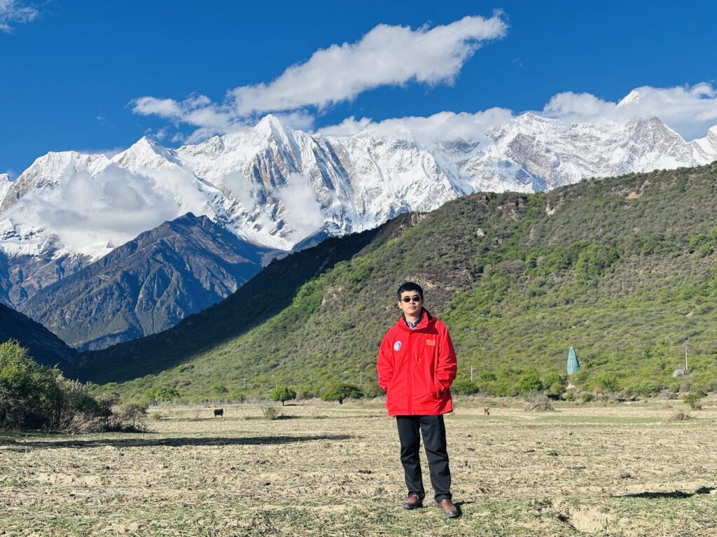
Xuelong Chen (Chinese Academy of Sciences): I’d love for readers to grasp how the Yarlung Zsangbo Grand Canyon (YGC) acts as a natural “water vapor highway” for the Tibetan Plateau. Beyond the science, I hope they appreciate the sheer grit it takes to study such a remote, rugged area—where power shortages can derail data collection and where landslides are as common as coffee breaks in other workplaces. It’s a reminder that some of the Earth System’s most critical processes unfold in these places.
Q: How did you become interested in the topic of this article?
XC: My fascination began with a paradox: how can a canyon—a giant crack in the Earth—be a source of water for the Tibetan Plateau? The YGC is like a meteorological thriller: monsoons, glaciers, and extreme rainfall conspiring in one dramatic landscape.
Q: What surprised you the most about the work you document in this article?
XC: Two things: First, the raindrops here behave like overcaffeinated particles—falling faster and breaking apart more dramatically than in lowland areas. Second, the canyon’s clouds have a nightlife. They party hardest at 4 a.m., dumping rain while the rest of us are asleep. Also, ERA5 reanalysis data, usually a scientist’s trusty sidekick, actually misjudged the rainfall timing and intensity.
Q: What was the biggest challenge you encountered while doing this work?
XC: Imagine setting up a Ka-band radar in a place where “power grid” is a mythical concept and landslides are the local welcome committee. One time, a tree fell on the road just two meters before our car, and we had to wait for help and practice sheer optimism. Also, ants and flying insects often regarded our rain gauge as their new home, blocking the funnel of the gauge. We had to rack our brains to find out when they started the project.